Proposal : Traffic Safety Analysis

Project Name:
Smart Traffic Analysis: A vision-based platform for analyzing and improving traffic safety

Proposal in one sentence:
Develop a tool that uses AI and computer vision to analyze traffic data, identify risk situations, and simulate improvements to infrastructure for safer roads and increased mobility.

Description of the project and what problem it is solving:
As cities worldwide strive to achieve their climate goals through the promotion of public transportation and cycling, it is crucial to also consider the safety of these modes of transportation. Pedestrians and cyclists are involved in more than 114k accidents with 800 deaths per year in Germany alone (Statistics 2020). While city planners aim to improve infrastructure for these modes of transportation, their decisions are often based on limited traffic data and heuristic assumptions, leading to reactive rather than proactive solutions.

To address this problem, I propose to build a tool that enables city planners and safety departments to quickly and comprehensively assess traffic risks at specific hot spots. By providing empirical data on the risks faced by pedestrians, cyclists, and other vulnerable road users, city planners can intervene before accidents occur, ultimately improving safety and increasing the use of sustainable transportation options.

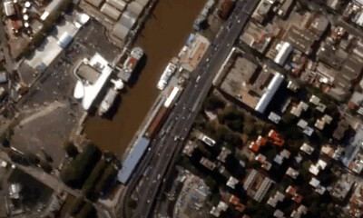
The tool will utilize AI and computer vision to detect, track, and predict the movements of traffic participants from camera recordings mounted for a limited time at the junction and following privacy standards for anonymization. This data will be used to create heat maps of risk situations and measure the impact of infrastructure changes on traffic safety.

Grant Deliverables:

  • Develop a prototype of the analysis platform, including a heat map of risk situations and a description of traffic volume.
  • Perform traffic recordings and test the platform to real scenarios

Squad Lead: Patrick
I recently completed my PhD in Deep Learning and Computer Vision, with a focus on multi-object tracking and pedestrian trajectory prediction. I am now eager to apply my expertise to develop an AI product that can benefit a wider audience. My goal is to bridge the gap between research and practical applications of AI.

  • Twitter handle: @PatDenAI
  • Discord handle: PatAI#9433
3 Likes

Out of curiosity, some questions, but no pressure in answering:

  1. It is mentionned that the data will come from “camera recordings mounted for a limited time at the junction”. What is the methodology of selecting these junctions? How long would the recording setup be installed for?

  2. Is there already-existing data that can be leveraged for this project? Lots of cities do capture video of street activity.

  3. Just an idea: it’d be interesting to see a methodology that analyses/leverages both satellite imagery and ‘video at intersection’ kind of data.

Hi @orpheus, thanks for your comments.

  1. The methodology for selecting the junction would involve working closely with the city administration to identify areas where cameras are already installed or where they can be installed temporarily for the purposes of collecting data for their statistic report and construction measures.
    From a technical point of you, it would be best to mount a fixed camera. However, one challenge, especially in Europe / Germany is data privacy why the government needs to justify the purpose of every recording camera, and why only temporary setups for evaluating a junction might be allowed. One can either mount them directly on the traffic lights and surrounding buildings or set up a temporary long pole with the camera on top.

  2. Yes, there is already existing data that can be leveraged for this project. Many cities already have cameras installed for traffic monitoring and management, and this data could potentially be used for the project. Additionally, there are also publicly available camera streams on YouTube and other platforms that could be used.
    4 Corners Camera Downtown - YouTube

  3. It would indeed be interesting to explore a methodology that leverages both satellite imagery and video at intersection data. While satellite imagery can provide a broad overview of traffic flow, video data from intersections can provide more detailed and specific information about the dynamics of traffic at specific junctions. There exist geostationary satellites that can provide high-resolution video but I believe that the resolution is not sufficient to identify risk situations.
    image

Let me know if you have any further questions or concerns.

2 Likes

perhaps you can reach out to planet labs regarding satellite data.

Yes, this is a good point. Planet definitely has pretty “high” resolution image data. Thx for pointing this out.